Cadcorp Emergency Services Conference 10/10/2019


This conference was the 2019 edition of Cadcorp’s annual Emergency Services Conference, a day in which existing and potential Cadcorp emergency services customers are invited to learn about the latest advancements in Cadcorp technology, as well as a chance to network and find out how other services have been using the software. The delegates came from a range of Fire, Police and NHS services.
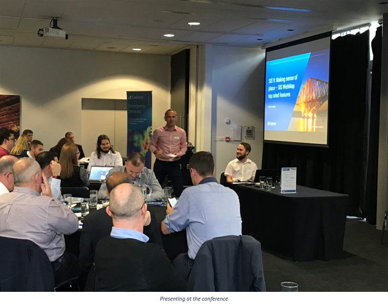
My presentation was entitled ‘SIS Web Map: Top Rated Features’. Since the last Emergency Services Conference, Cadcorp had released a new version of the software, therefore my session was designed to show the latest useful updates to the Web Map software.
The demonstration consisted of a section on the new features of the back-end web server (GeognoSIS); new integrations with external services, namely What3Words and the Aligned Assets Single Point Gazetteer; some advancements to the core functionality (improvements to spatial querying and saving of drawn annotations); improvements to the spatial database editing and advanced incident querying add-ins; and finally some ways of sharing data over the web (namely embedding Web Map in HTML web pages and the sharing of data via a dashboard solution).